Explore every level
Navigate your estate by plantation, parcel and mapped tree.
Compare dated observations
Switch between available acquisition dates and review historical indicators.
Prioritise field checks
Locate flagged trees and possible planting gaps, then confirm conditions on the ground.
Document what changes
Bring mapped observations and available reports into operational reviews.
Read each observation in context.
Location
Identify the plantation, parcel and mapped tree.
Observation date
Check when the imagery was acquired.
Crown measurements
Review the detected canopy.
Vegetation indicators
Investigate patterns that merit a closer look.
Water indicators
Read with method and local context.
Modelled carbon
Read estimates with method and uncertainty.
Historical change
Compare available acquisition dates.
Ground checks
Confirm flagged conditions in the field.
From observation to field action
STEP 1
Agree the estate boundaries, available records and decisions your team needs to support.
STEP 2
Explore dated imagery and tree records. Compare available indicators across acquisitions.
STEP 3
Use maps and field-priority reports to focus field visits. Confirm conditions on the ground and document the findings.
See the wider monitoring picture.
Review local patterns and priorities.
Inspect individual mapped records.
Customers
Build a clearer record of farm performance.



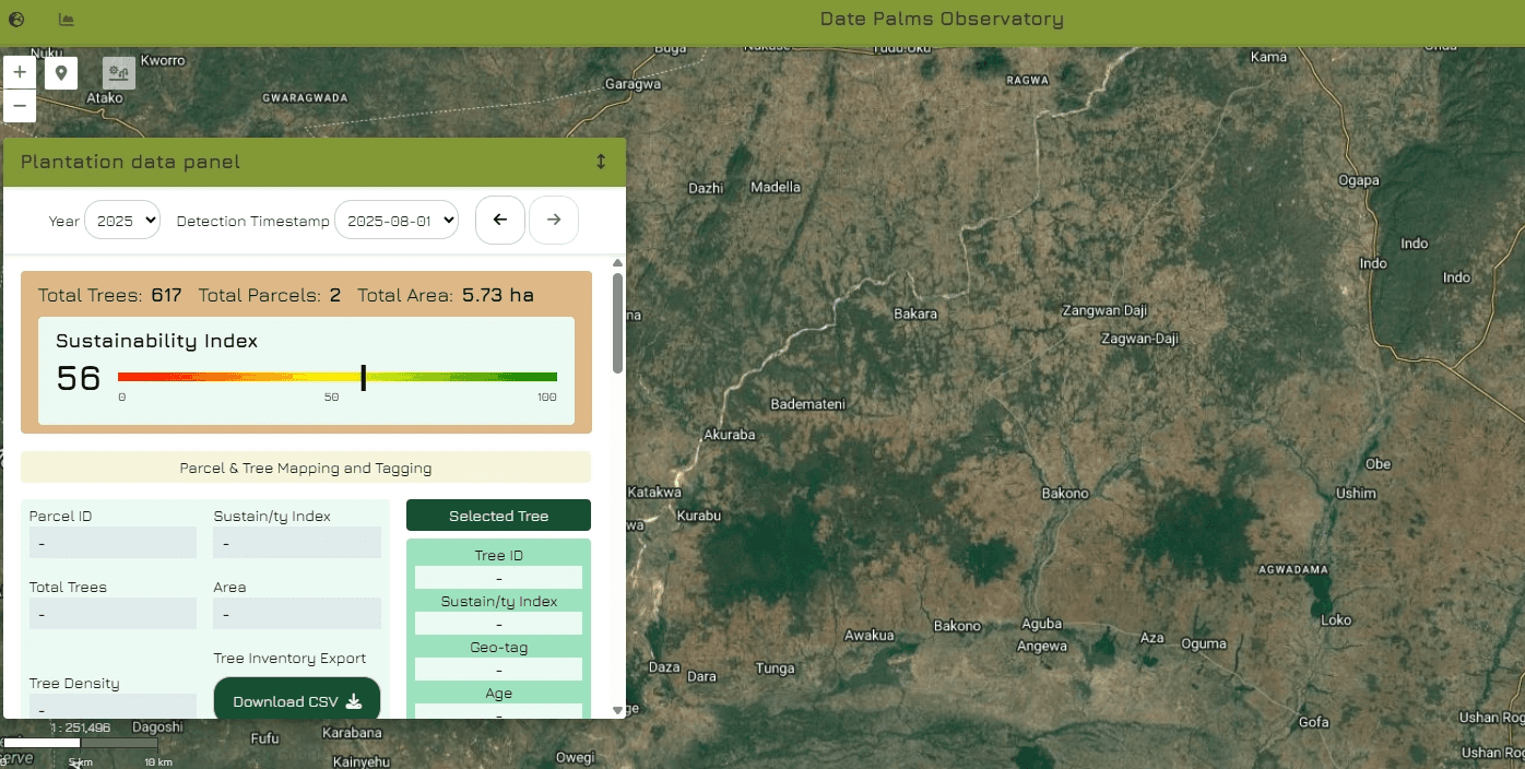
Supported monitoring capabilities
Measurement note
Vegetation and water indicators
Highlight patterns to investigate.
Crown measurements
Describe the detected canopy.
Carbon outputs
Are modelled estimates.
Observation context
Read each result with its observation date and method.
Mapped tree records
Support review at estate, parcel and tree level.
Dated imagery
Supports comparison across available acquisitions.
Field-priority reports
Help focus visits and document findings outside the platform.
Available reports
Bring mapped observations into operational reviews.
Turn observations into useful next steps.
Focus inspections, compare change and bring clearer records to team reviews.
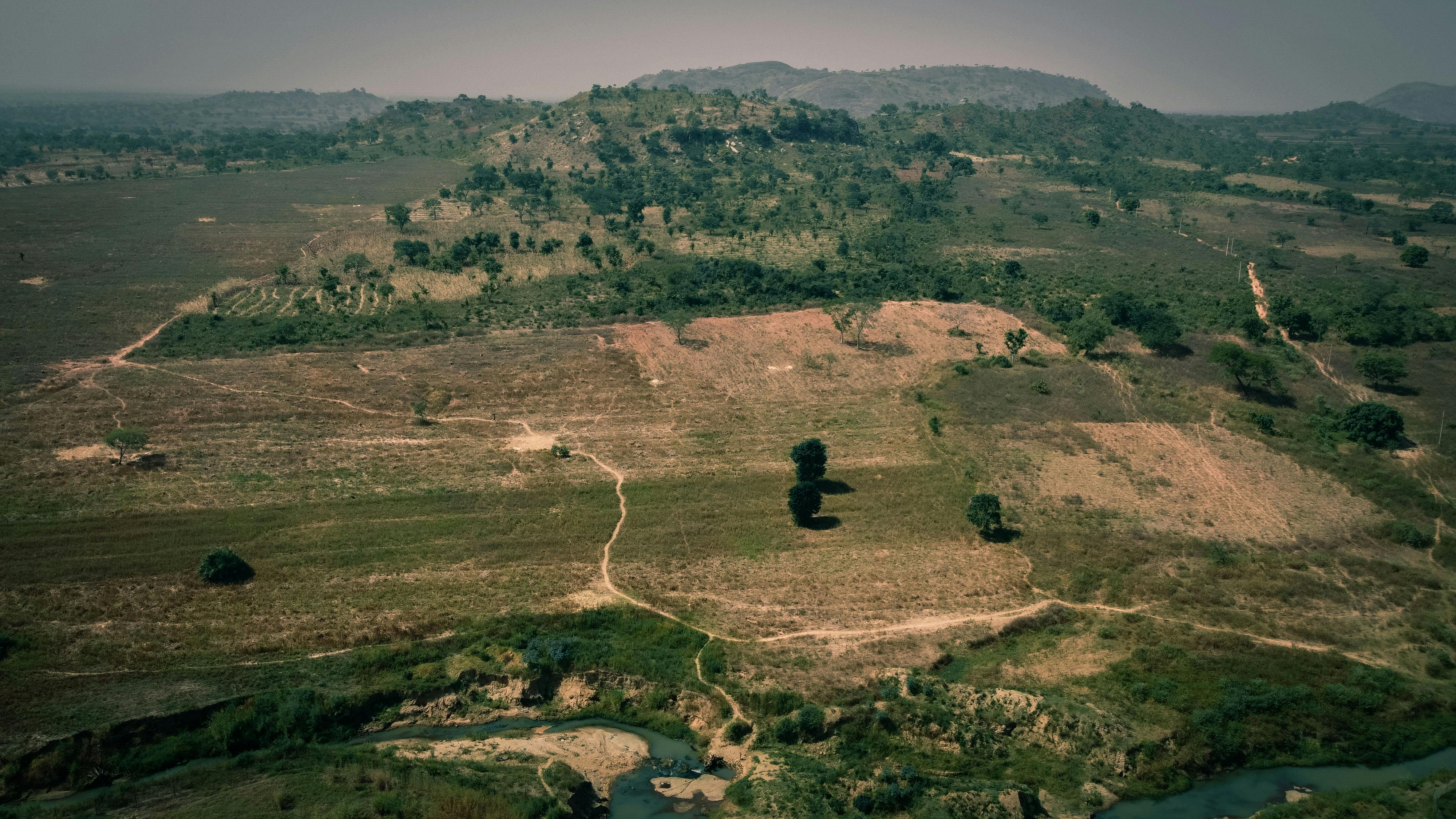
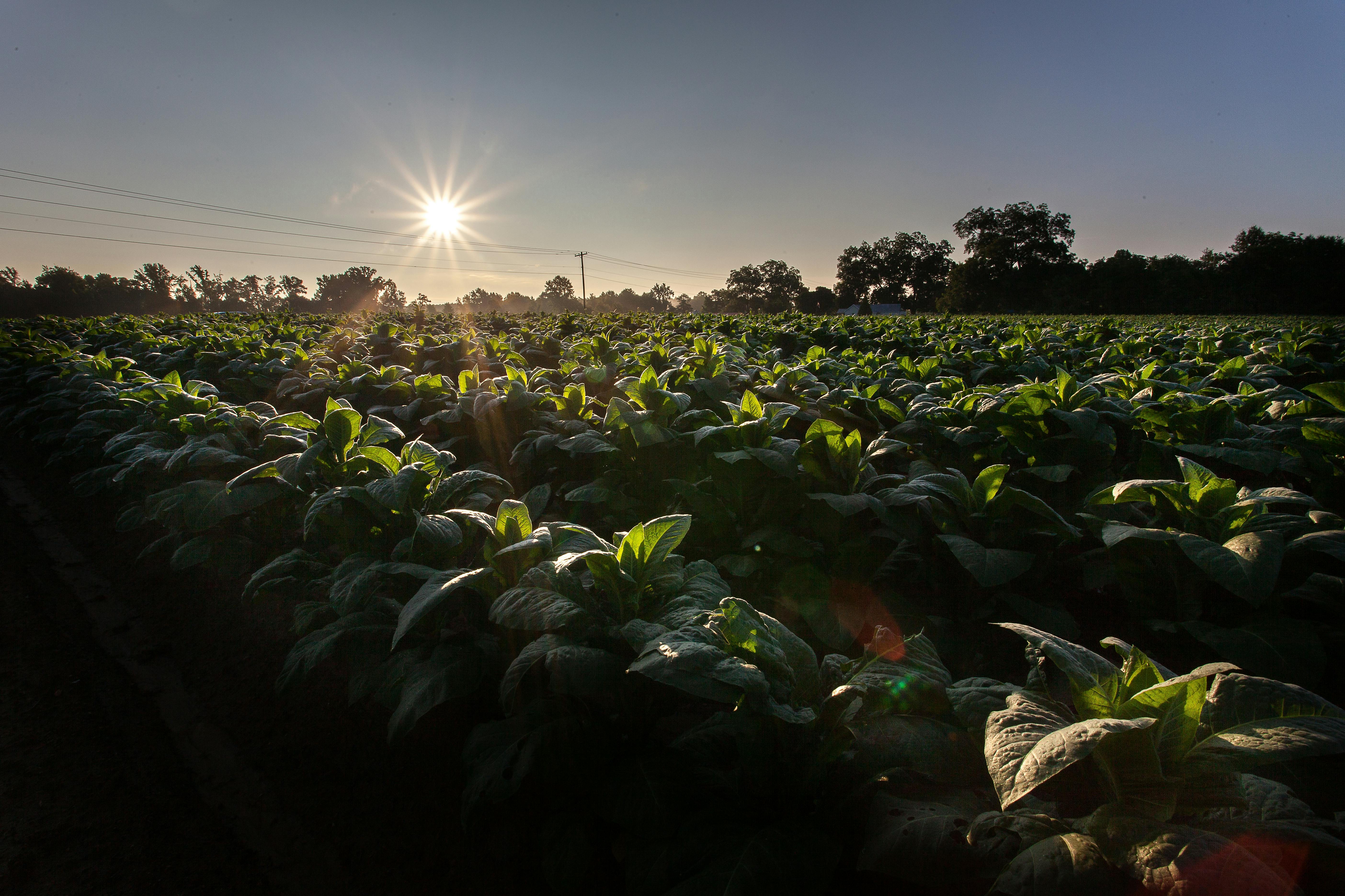
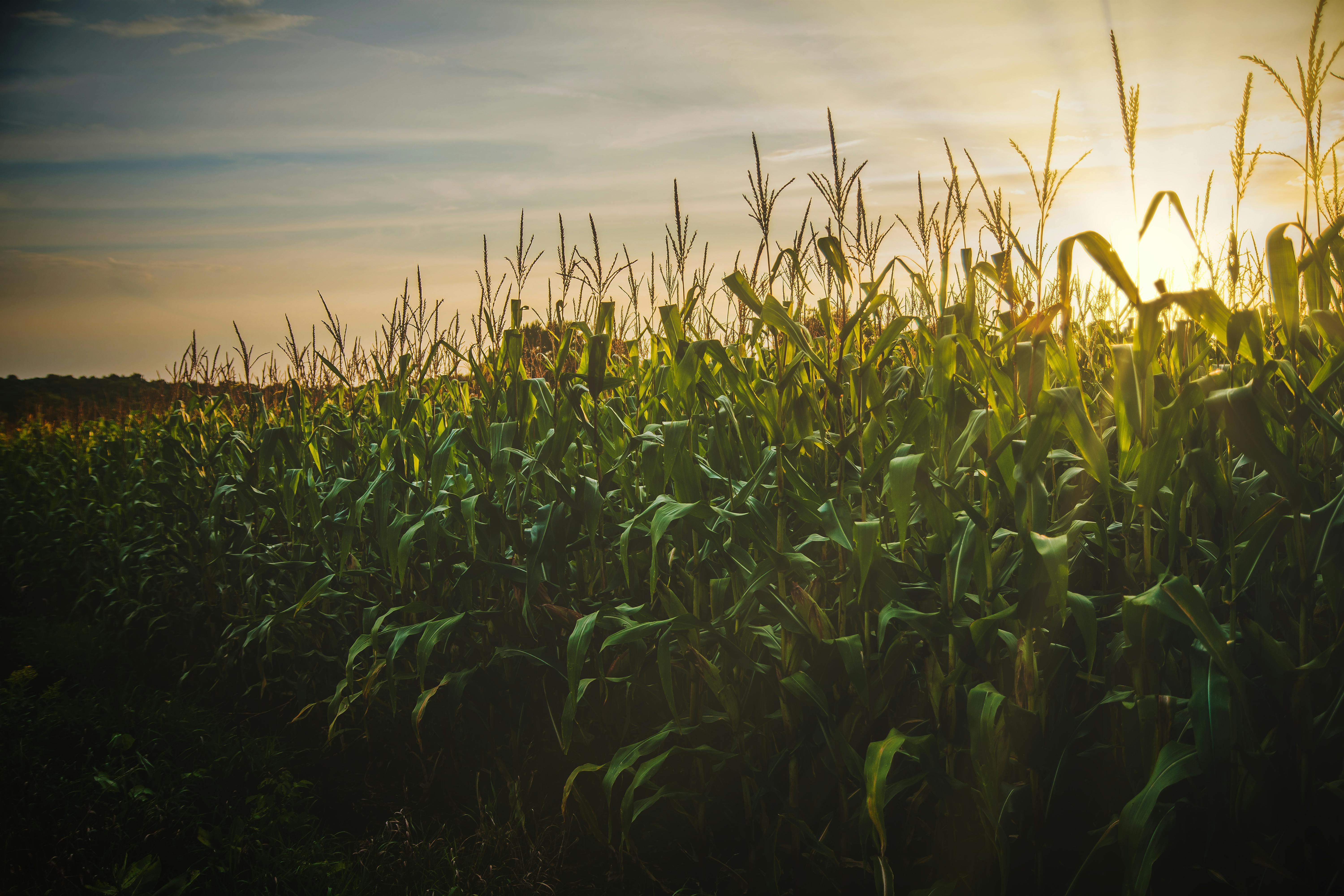

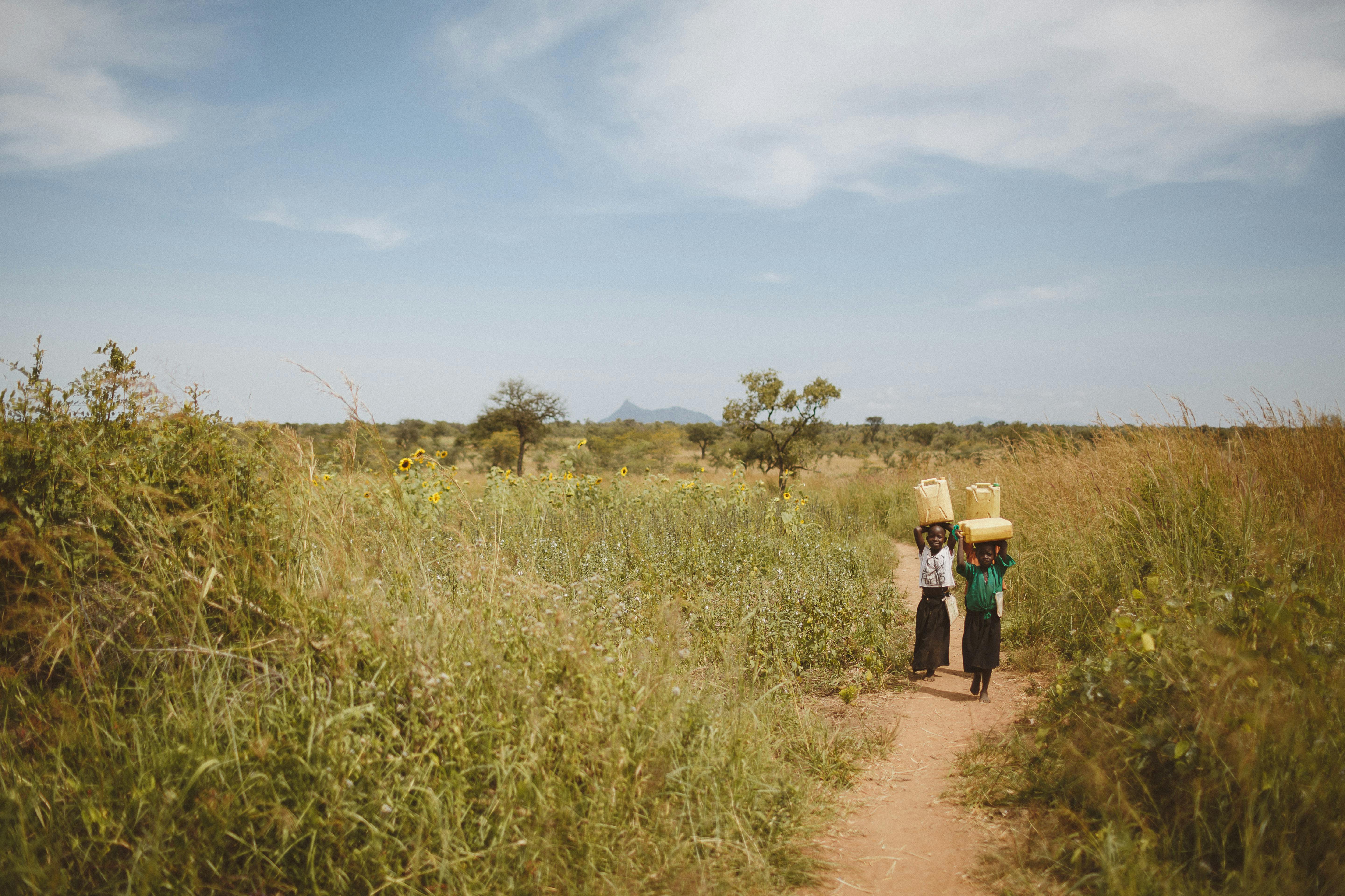
Prepare a clearer record for review.
Monitoring documentation
Explain what was observed, when and how.
Independent assessment
Confirm the evidence required by the relevant review or certification process.
Monitoring documentation
Keep observations, methods and field findings in context.
Future direction
CURRENT FOCUS
Dated observations and documented methods can support measurement, reporting and a wider verification process. Field confirmation and independent verification remain distinct steps.
FUTURE DIRECTION
A future direction connecting documented agricultural assets with digital representations, subject to the relevant methods, partners and requirements.
THE APPROACH
Start with what was observed, when it was observed and how it was documented. Use that record to guide field checks, reporting and further review.
SDG alignment
Partner discussions
Bringaclearerfarmrecordtopartnerdiscussions.
Dated observations and monitoring reports can help agricultural teams explain their operations to finance and sustainability partners. Each partner sets its own evidence requirements and eligibility criteria.
Define the reporting question
Gather relevant observations
Agree the review requirements